Vision for the California Coastal Trail: To complete a continuous trail along the California Coast that provides safe coastal access for all.
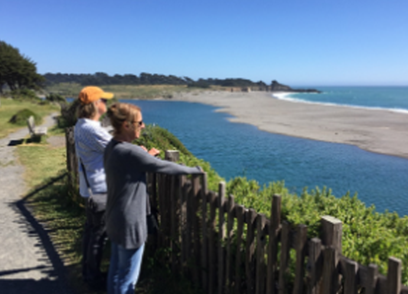
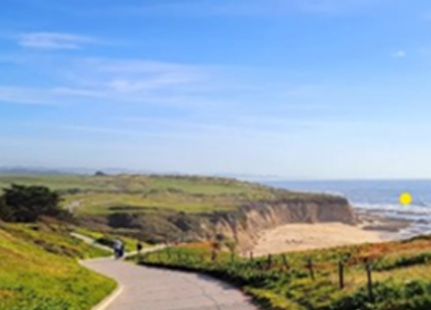
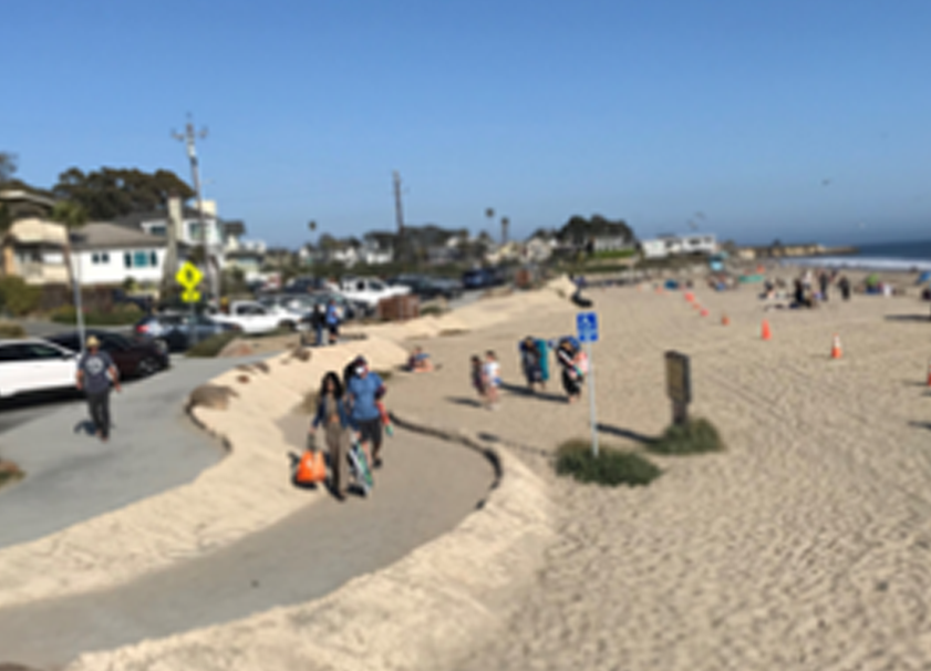
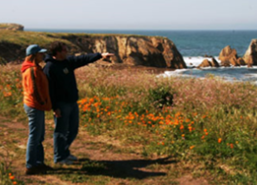
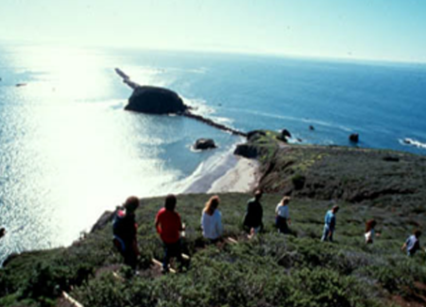
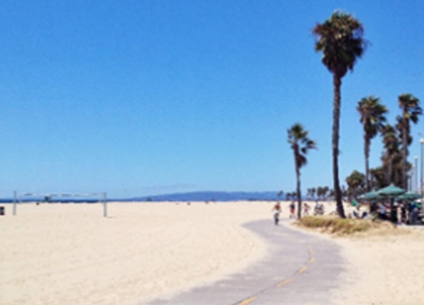
The California Coastal Trail (CCT) is a continuous interconnected public trail system running the length of the California coastline. It is designed to foster appreciation and stewardship of the scenic and natural resources of the coast and serves to implement aspects of Coastal Act policies promoting non-motorized transportation. The CCT system is located on a variety of terrains, including the beach, bluff edge, hillsides providing scenic vantage points, and sometimes within the highway right-of-way. It takes many forms, including informal footpaths, paved sidewalks, and separated bicycle paths. When no other alternative exists, it sometimes connects along the shoulder of the road. While primarily for pedestrians, the CCT also accommodates a variety of additional user groups, such as bicyclists, wheelchair users, equestrians, and others as opportunities allow. The CCT is a braided trail system, meaning it consists of one or more parallel alignments. The CCT system is designed to achieve the following goals and objectives:
Along the 1230 miles of California coastline, about 70% of the CCT has been constructed. This translates to about 875 miles of trail, but given the many parallel strands, when complete, the mileage will greatly exceed 1230 miles.
Several hundred signs have been installed to mark many of the completed segments. To find these trails, take a walk in your favorite coastal park and look for this logo:

You can also check out the interactive California Coastal Trail Map to look for your next coastal walk. Or check out the regional Coastal Access guidebook series, Experience the California Coast, as well as the statewide California Coastal Access Guide, linked below, depicting the current coastal trail segments:
